Bring a clear view of public safety to your community
Turn your agency’s publicly releasable records into daily reports, interactive maps, and local information residents can explore and understand.


For your community
Clear, official answers
Daily report
What happened?
A readable account of recent calls, recorded outcomes, and the activity behind the numbers. Each report explains what the source records show in plain, neutral language, without added commentary or speculation.

Activity map
Where did it happen?
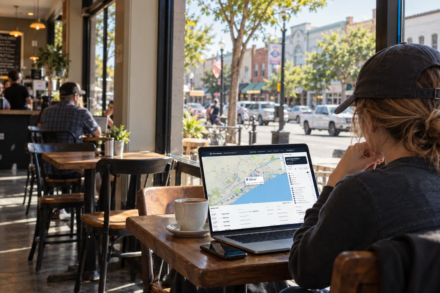
Calls appear on an interactive map that residents can filter by type and time. They can explore activity near home or across the community, with locations shown at the block level and sensitive calls protected under your release rules.
Neighborhoods
How is activity changing?
Neighborhood and service-area views put recent activity in context. Comparisons with earlier periods show what has increased or decreased, while the wider community provides a reference for local patterns.
Public activity hub
How can I keep up?
One public hub brings the latest reports, maps, and neighborhood views together. Residents have a dependable place to return for updates, with an archive when they want to look back.
WCAG 2.2 Level AA
Reports, maps, and navigation clear the ADA Title II accessibility bar.
Publicly releasable
Nothing is published outside the release rules your agency sets.
Fit to your records
Built on your existing CAD or RMS exports, scoped with your team.
Our partners
Transparency in action
Explore the public sites residents use today, with reports and maps published in partnership with their local agencies.
“Now the public can see what we respond to and where. This is a good win for the city and for the community.”
 Jonathan VenturaChief of Police, Arlington Police Department, WA
- Bellingham, WAPublished with Bellingham Police DepartmentReportingOperationsView public hub
- North Myrtle Beach, SCPublished with North Myrtle Beach Police DepartmentReportingOperationsView public hub
- Arlington, WAPublished with Arlington Police DepartmentReportingOperationsView public hub
- Monmouth, ORPublished with Monmouth Police DepartmentReportingOperationsView public hub
- Add yoursPublished with your agencyGet started
Responsible transparency
Deliberate privacy protections
Your release rules determine what appears publicly. By default, we show block-level locations and remove personal information.
| In your records | Before publication | |
|---|---|---|
| Call type | DIST-VERBAL | Translated into a recognizable category |
| Location | 4## MAIN ST | Generalized to the block instead of the exact address |
| Time received | 10/20 21:42:07 | Formatted as a readable date and time |
| Disposition | ADV | Explained as a plain-language outcome |
| Personal information | ██████ · ███-████ | Removed from the public view |
What residents see
How it works
From dispatch to launch
Keep your existing CAD or RMS, we work with its exports and agree on the scope with you
| Your agency |  Civic Informer | |
|---|---|---|
| Connect your records | Authorize an export from your existing system | Assess the format and set up the data flow |
| Prepare the data | Handled by Civic Informer | Organize record fields, categories, and locations |
| Set release rules | Decide which records and details can be public | Apply exclusions, redactions, and location protections |
| Review and launch | Review the private preview and approve launch | Build the public site and publish the approved setup |
| Keep it current | Flag corrections and changes to release policy | Monitor updates, maintain the site, and support your team |
For your agency
Transparency, taken care of
Share your agency’s work with the public. We prepare your records, publish the reports and maps, and maintain the site. You set the standard.
Frequently asked questions
Have another question? Contact us at contact@civicinformer.com or fill out the form to get started.
How often does the information update?
We agree on a publication schedule based on how often your records are available. We monitor the data flow, and public reports show the dates their records cover so readers can see how current the information is.
What if a record needs correcting?
Your staff can flag an error, and residents can use the public correction form. Our data team reviews the source records before making a correction, keeping the public account tied to the record.
Can residents access it through our website?
Yes. Your agency’s website can link to the public hub or embed supported views, such as the report or map. We agree on which views to include during setup. Review the setup process
How quickly can we launch?
We agree on a timeline after reviewing your available exports and the preparation they need. Record access, data quality, and your team’s review process determine the schedule.
How is pricing determined?
Pricing reflects the records, geography, update schedule, and support your agency needs. After reviewing those needs with you, we provide a written proposal covering setup, ongoing service, and pricing.